
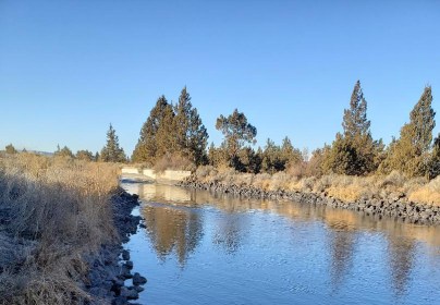
Today I saw that one of the COID main canals near my house was full of water so I checked the graph. As you can see below, there have been some pretty dramatic fluctuations in the Deschutes below Bend over the past week. There was an abrupt diversion into the canals on February 10 and it looks like another is starting today. (Note that it can take a few days for the water to make it down the canals.) As I have written before, these sudden fluctuations wreak havoc on the aquatic environment and cause increased sedimentation which fills spawning beds.

The annual water graph gives another perspective on how damaging irrigation diversions are to the middle Deschutes. Flows are higher in the winter when diversions are less frequent but fluctuate suddenly and are well under the historical flows which were somewhere around 1,000* cubic feet a second. During irrigation season the flows drop precipitously to around 100 CFS and stay there.

To be fair, the irrigators have recently agreed to not drop the flows below 250 CFS in the winter, which is an improvement from as recently as last year when they dropped it to 100 CFS at one point. That being said, extreme low flows during irrigation eliminate any benefit of higher flows in the winter.
Note that all of the water savings from taxpayer-funded canal piping is to be applied to the upper Deschutes, there are no announced plans to increase water in the middle Deschutes as there are no endangered species there. Bull trout have already gone extinct in the middle due to low flows and there are no Oregon spotted frogs in that stretch.
*The upper Deschutes below Wickiup Reservoir was historically around 600 CFS all year. The middle was higher due to infusions of water from the Little Deschutes, Fall River, and Spring River.
